Nautical Charts & Maps

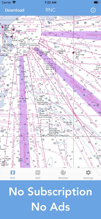


Описание Nautical Charts & Maps
Main Features Include:
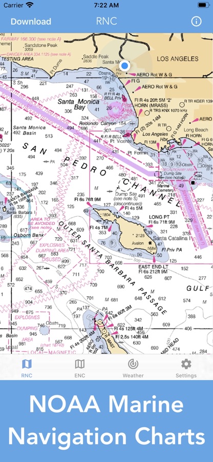
+ NOAA Electronic Navigational Charts (ENC)
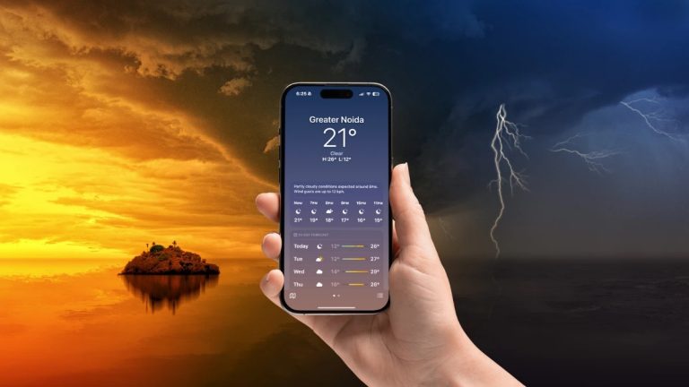
+ NOAA Weather Map Overlays
— ELECTRONIC NAVIGATION CHARTS —
Electronic Navigational Charts (ENC) are vector data sets that support all types of marine navigation.
+ All charts are available to download for offline use
+ Chart format options include: NOAA, ECDIS
ENC charts display the following information:
+ Buoys, Beacons, Lights, Fog Signals, Radar
+ Natural and Man-Made Features
+ Services and Small Craft Facilities
+ Seabed, Obstructions, Pipelines
+ Depths, Currents
+ Port Features
+ Traffic Routes
+ Special areas
NOAA updates the ENCs for Notice to Mariners on a weekly basis. Timing of their availability is not guaranteed.
The ENC charts displayed in this app does NOT meet federal chart carriage regulations for regulated vessels.
Users should consult the Code of Federal Regulations for current federal chart carriage requirements.
— NOAA WEATHER MAP OVERLAYS —
+ Weather Radar
+ Sea Surface Temperature
+ Significant Wave Height
+ Wind Speed & Direction
+ 12-Hour Rain Probability
+ Lightning Strike Density
+ Air Temperature
If you have any questions, please email support@lwbrandsllc.com
Скачайте приложение Nautical Charts & Maps для iOS — последняя версия (1.14) уже доступна для установки на ваш iPhone или iPad.
Что нового в последней версии 1.14
+ Optimized for iOS 26
+ Fixed a few bugs
Thank you for the positive feedback!
Информация о приложении Nautical Charts & Maps
- Версия 1.14
- Обновлено 16 ноября 2025 г.
- Требуемая ОС iOS 14.0 и выше
- Категория Карты и навигация
- Разработчик LW Brands, LLC
- Возраст 13+